 Orion Highway
Current Status
Where is the vessel?
Orion Highway is currently in 183 nm NW of Anse Kerlan, based on AIS data received about 14h ago.
Latest AIS update:
Current position: 2.42597° S, 53.26786° E (183 nm NW of Anse Kerlan)
Average speed (last 7 days): Loading…
Average speed (last 30 days): Loading…
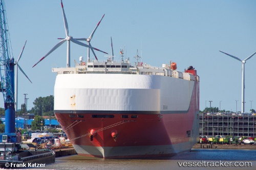
Vessel profile: Orion Highway is a Vehicles Carrier with dimensions 199m x 37m.
This page combines live AIS, route history, probable destination signals, nearby traffic, and port activity for practical vessel monitoring.
The current position of vessel Orion Highway is -2.42597 lat / 53.26786 lng. Updated: 2026-05-21 01:43:34 UTCNearest reference points:
- Near Mahé Island Apt
Currently sailing under the flag of Panama ![]()
Details:
Live Vessel Orion Highway Analytics (details, animations, etc.)
Recent AIS points (UTC):
2026-05-20 22:46:38 UTC · -3.08313, 52.66499 · SOG 18.2 kn · COG 40°2026-05-21 00:24:32 UTC · -2.72058, 52.99876 · SOG 17.9 kn · COG 39°
2026-05-21 01:14:08 UTC · -2.53762, 53.16922 · SOG 18.4 kn · COG 41°
2026-05-21 01:43:34 UTC · -2.42597, 53.26786 · SOG 18.3 kn · COG 42°