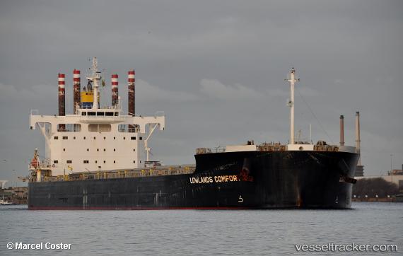
 BULLDOG
Current Status
Where is the vessel?
BULLDOG is currently in 201 nm SE of Offshore Ambrose, based on AIS data received about 14h ago.
Latest AIS update:
Current position: 37.95667° N, 68.80333° W (201 nm SE of Offshore Ambrose)
Average speed (last 7 days): Loading…
Average speed (last 30 days): Loading…
Vessel profile: BULLDOG is a Cargo with dimensions m x m.
This page combines live AIS, route history, probable destination signals, nearby traffic, and port activity for practical vessel monitoring.
The current position of vessel BULLDOG is 37.95667 lat / -68.80333 lng. Updated: 2026-07-03 11:38:18 UTCNearest reference points:
- 187 nm SE of Offshore Ambrose
- 126 nm SE of Offshore Ambrose
- 114 nm SE of Offshore Ambrose
Currently sailing under the flag of Liberia ![]()
Details:
Live Vessel BULLDOG Analytics (details, animations, etc.)
Recent AIS points (UTC):
2026-07-03 07:59:21 UTC · 37.71167, -69.69500 · SOG 13 kn · COG -1°2026-07-03 09:29:17 UTC · 37.80333, -69.32000 · SOG 11 kn · COG -1°
2026-07-03 10:35:19 UTC · 37.87667, -69.06333 · SOG 12 kn · COG -1°
2026-07-03 11:38:18 UTC · 37.95667, -68.80333 · SOG 13 kn · COG -1°