 vesseltracker.com
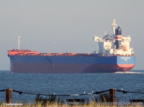
 TIMORSUN
Current Status
Where is the vessel?
TIMORSUN is currently in 36 nm SW of Kiamari, based on AIS data received about 15h ago.
Latest AIS update:
Current position: 24.37233° N, 66.52543° E (36 nm SW of Kiamari)
Average speed (last 7 days): Loading…
Average speed (last 30 days): Loading…
Vessel profile: TIMORSUN is a Cargo with dimensions m x m.
This page combines live AIS, route history, probable destination signals, nearby traffic, and port activity for practical vessel monitoring.
The current position of vessel TIMORSUN is 24.37233 lat / 66.52543 lng. Updated: 2026-05-18 05:48:22 UTCNearest reference points:
- 16 nm S of Kiamari
- Near Kiamari
- Near PORT QASIM
Currently sailing under the flag of Liberia ![]()
Details:
Live Vessel TIMORSUN Analytics (details, animations, etc.)
Recent AIS points (UTC):
2026-05-18 01:51:22 UTC · 24.37292, 66.52548 · SOG 0.1 kn · COG 267°2026-05-18 04:09:23 UTC · 24.37251, 66.52548 · SOG 0.1 kn · COG 272°
2026-05-18 04:15:22 UTC · 24.37257, 66.52549 · SOG 0 kn · COG 273°
2026-05-18 05:48:22 UTC · 24.37233, 66.52543 · SOG 0.3 kn · COG 278°