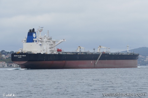
 Seaways Hatteras
Current Status
Where is the vessel?
Seaways Hatteras is currently in 60 nm W of Cap Skiring, based on AIS data received about 14h ago.
Latest AIS update:
Current position: 12.00098° N, 17.70090° W (60 nm W of Cap Skiring)
Average speed (last 7 days): Loading…
Average speed (last 30 days): Loading…
Vessel profile: Seaways Hatteras is a Crude Oil Tanker with dimensions 274m x 274m.
This page combines live AIS, route history, probable destination signals, nearby traffic, and port activity for practical vessel monitoring.
The current position of vessel Seaways Hatteras is 12.00098 lat / -17.70090 lng. Updated: 2026-05-20 05:51:52 UTCNearest reference points:
- 48 nm W of Cap Skiring
- Near San Francisco Libre
- Near Banjul
Currently sailing under the flag of Marshall Is ![]()
Details:
Live Vessel Seaways Hatteras Analytics (details, animations, etc.)
Recent AIS points (UTC):
2026-05-20 01:54:01 UTC · 11.14081, -17.53105 · SOG 13.8 kn · COG 348°2026-05-20 04:17:12 UTC · 11.66626, -17.64325 · SOG 13.2 kn · COG 350°
2026-05-20 04:34:31 UTC · 11.72856, -17.65570 · SOG 13.1 kn · COG 349°
2026-05-20 05:51:52 UTC · 12.00098, -17.70090 · SOG 12.8 kn · COG 348°