 CHEM SEA 1
Current Status
Where is the vessel?
CHEM SEA 1 is currently in 153 nm SE of Hateruma, based on AIS data received about 14h ago.
Latest AIS update:
Current position: 22.01186° N, 125.43697° E (153 nm SE of Hateruma)
Average speed (last 7 days): Loading…
Average speed (last 30 days): Loading…
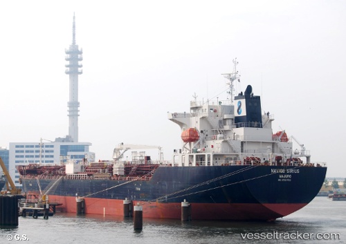
Vessel profile: CHEM SEA 1 is a Tanker with dimensions m x m.
This page combines live AIS, route history, probable destination signals, nearby traffic, and port activity for practical vessel monitoring.
The current position of vessel CHEM SEA 1 is 22.01186 lat / 125.43697 lng. Updated: 2026-05-24 23:47:50 UTCNearest reference points:
- 77 nm SE of Miyakojima
Currently sailing under the flag of Portugal ![]()
Details:
Live Vessel CHEM SEA 1 Analytics (details, animations, etc.)
Recent AIS points (UTC):
2026-05-24 17:54:04 UTC · 22.19437, 126.57374 · SOG 10.4 kn · COG 263°2026-05-24 17:54:04 UTC · 22.19437, 126.57374 · SOG 10.4 kn · COG 263°
2026-05-24 23:02:21 UTC · 22.03257, 125.58679 · SOG 11.3 kn · COG -1°
2026-05-24 23:47:50 UTC · 22.01186, 125.43697 · SOG 11 kn · COG -1°