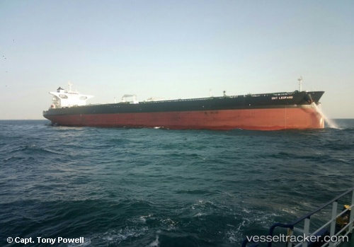
 DHT LEOPARD
Current Status
Where is the vessel?
DHT LEOPARD is currently in 111 nm SE of Tamatave, based on AIS data received about 15h ago.
Latest AIS update:
Current position: 19.68845° S, 50.51252° E (111 nm SE of Tamatave)
Average speed (last 7 days): Loading…
Average speed (last 30 days): Loading…
Vessel profile: DHT LEOPARD is a Tanker with dimensions m x m.
This page combines live AIS, route history, probable destination signals, nearby traffic, and port activity for practical vessel monitoring.
The current position of vessel DHT LEOPARD is -19.68845 lat / 50.51252 lng. Updated: 2026-05-20 17:20:20 UTCNearest reference points:
- 183 nm E of Tamatave
Currently sailing under the flag of Marshall Islands ![]()
Details:
Live Vessel DHT LEOPARD Analytics (details, animations, etc.)
Recent AIS points (UTC):
2026-05-20 14:10:40 UTC · -20.28041, 50.24827 · SOG 12 kn · COG 28°2026-05-20 15:22:42 UTC · -20.05601, 50.35243 · SOG 12.3 kn · COG 23°
2026-05-20 16:59:08 UTC · -19.75452, 50.48514 · SOG 12 kn · COG 21°
2026-05-20 17:20:20 UTC · -19.68845, 50.51252 · SOG 12 kn · COG 22°