 AMIRA NORA
Current Status
Where is the vessel?
AMIRA NORA is currently in Near Davutpasa, based on AIS data received about 15h ago.
Latest AIS update:
Current position: 40.98167° N, 28.94333° E (Near Davutpasa)
Average speed (last 7 days): Loading…
Average speed (last 30 days): Loading…
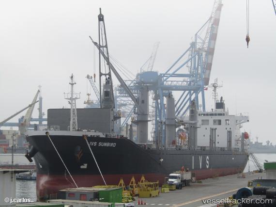
Vessel profile: AMIRA NORA is a Cargo with dimensions m x m.
This page combines live AIS, route history, probable destination signals, nearby traffic, and port activity for practical vessel monitoring.
The current position of vessel AMIRA NORA is 40.98167 lat / 28.94333 lng. Updated: 2026-05-20 16:11:35 UTCNearest reference points:
- Near Davutpasa
- Near ZEYTINBURNU
- Near Mardas
Currently sailing under the flag of Panama ![]()
Details:
Live Vessel AMIRA NORA Analytics (details, animations, etc.)
Recent AIS points (UTC):
2026-05-20 13:01:36 UTC · 40.97955, 28.94346 · SOG 0 kn · COG 316°2026-05-20 13:49:34 UTC · 40.97934, 28.94317 · SOG 0 kn · COG 327°
2026-05-20 15:52:33 UTC · 40.98110, 28.94381 · SOG 0.1 kn · COG 272°
2026-05-20 16:11:35 UTC · 40.98167, 28.94333 · SOG 0 kn · COG -1°