 TIHAMA
Current Status
Where is the vessel?
TIHAMA is currently in 103 nm W of Saint-Gilles, based on AIS data received about 14h ago.
Latest AIS update:
Current position: 21.33280° S, 53.43040° E (103 nm W of Saint-Gilles)
Average speed (last 7 days): Loading…
Average speed (last 30 days): Loading…
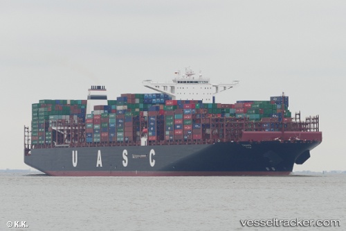
Vessel profile: TIHAMA is a Cargo A with dimensions m x m.
This page combines live AIS, route history, probable destination signals, nearby traffic, and port activity for practical vessel monitoring.
The current position of vessel TIHAMA is -21.3328 lat / 53.4304 lng. Updated: 2026-05-20 15:23:08 UTCNearest reference points:
- 209 nm E of Manakara
- 194 nm E of Manakara
Currently sailing under the flag of Germany ![]()
Details:
Live Vessel TIHAMA Analytics (details, animations, etc.)
Recent AIS points (UTC):
2026-05-20 12:07:22 UTC · -20.77780, 54.30300 · SOG 18.1 kn · COG 230°2026-05-20 13:58:34 UTC · -21.09520, 53.81320 · SOG 18.1 kn · COG 235°
2026-05-20 14:13:34 UTC · -21.13830, 53.74710 · SOG 18 kn · COG 237°
2026-05-20 15:23:08 UTC · -21.33280, 53.43040 · SOG 18.5 kn · COG 236°