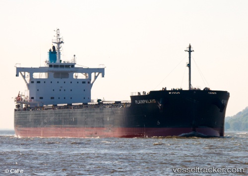
 PLAINPALAIS
Current Status
Where is the vessel?
PLAINPALAIS is currently in 175 nm E of Belmonte, based on AIS data received about 14h ago.
Latest AIS update:
Current position: 15.37054° S, 35.90754° W (175 nm E of Belmonte)
Average speed (last 7 days): Loading…
Average speed (last 30 days): Loading…
Vessel profile: PLAINPALAIS is a Cargo with dimensions m x m.
This page combines live AIS, route history, probable destination signals, nearby traffic, and port activity for practical vessel monitoring.
The current position of vessel PLAINPALAIS is -15.37054 lat / -35.90754 lng. Updated: 2026-05-22 12:16:32 UTCNearest reference points:
- 169 nm E of Alcobaca
Currently sailing under the flag of Marshall Islands ![]()
Details:
Live Vessel PLAINPALAIS Analytics (details, animations, etc.)
Recent AIS points (UTC):
2026-05-22 09:53:42 UTC · -15.82105, -36.06428 · SOG 12 kn · COG 18°2026-05-22 10:05:52 UTC · -15.78241, -36.05052 · SOG 12 kn · COG 18°
2026-05-22 11:26:05 UTC · -15.52879, -35.96072 · SOG 11.7 kn · COG 18°
2026-05-22 12:16:32 UTC · -15.37054, -35.90754 · SOG 11.7 kn · COG 18°