 vesseltracker.com
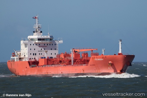
 STOLT ARGON
Current Status
Where is the vessel?
STOLT ARGON is currently in 26 nm NW of TUMB, based on AIS data received less than 1h ago.
Latest AIS update:
Current position: 20.49561° N, 72.46220° E (26 nm NW of TUMB)
Average speed (last 7 days): Loading…
Average speed (last 30 days): Loading…
Vessel profile: STOLT ARGON is a Chemical/Oil Products Tanker with dimensions 165m x 27m.
This page combines live AIS, route history, probable destination signals, nearby traffic, and port activity for practical vessel monitoring.
The current position of vessel STOLT ARGON is 20.49561 lat / 72.46220 lng. Updated: 2026-05-14 00:05:53 UTCNearest reference points:
- Near Gandhar
- 17 nm SE of Port Pipavav
- Near Mithivirdi
Currently sailing under the flag of Liberia ![]()
STOLT ARGON built in 2016 year
Deadweight:
27500 tDetails:
Live Vessel STOLT ARGON Analytics (details, animations, etc.)
Recent AIS points (UTC):
2026-05-13 19:57:44 UTC · 19.77333, 72.38571 · SOG 13 kn · COG 316°2026-05-13 21:31:24 UTC · 20.03752, 72.36409 · SOG 11.6 kn · COG 14°
2026-05-13 22:24:57 UTC · 20.19833, 72.32833 · SOG 11 kn · COG -1°
2026-05-14 00:05:53 UTC · 20.49561, 72.46220 · SOG 11.6 kn · COG 11°