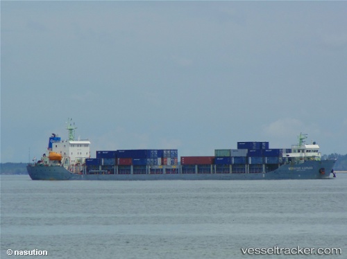
 Meratus Kapuas
Current Status
Where is the vessel?
Meratus Kapuas is currently in 35 nm SW of MEKAR PUTIH, based on AIS data received about 14h ago.
Latest AIS update:
Current position: 4.55167° S, 115.77667° E (35 nm SW of MEKAR PUTIH)
Average speed (last 7 days): Loading…
Average speed (last 30 days): Loading…
Vessel profile: Meratus Kapuas is a Container Ship with dimensions 120m x 22m.
This page combines live AIS, route history, probable destination signals, nearby traffic, and port activity for practical vessel monitoring.
The current position of vessel Meratus Kapuas is -4.55167 lat / 115.77667 lng. Updated: 2026-06-06 20:28:05 UTCNearest reference points:
- Near Bunati
- 12 nm SE of Bunati
- 74 nm S of MEKAR PUTIH
Currently sailing under the flag of Indonesia ![]()
Details:
Live Vessel Meratus Kapuas Analytics (details, animations, etc.)
Recent AIS points (UTC):
2026-06-06 16:08:28 UTC · -4.91167, 115.35500 · SOG 7 kn · COG -1°2026-06-06 18:31:42 UTC · -4.71667, 115.58500 · SOG 8 kn · COG -1°
2026-06-06 20:10:12 UTC · -4.57500, 115.74833 · SOG 7 kn · COG -1°
2026-06-06 20:28:05 UTC · -4.55167, 115.77667 · SOG 6 kn · COG -1°