 EUGENIA B
Current Status
Where is the vessel?
EUGENIA B is currently in 155 nm W of Florida Straits, based on AIS data received about 15h ago.
Latest AIS update:
Current position: 24.73722° N, 85.81573° W (155 nm W of Florida Straits)
Average speed (last 7 days): Loading…
Average speed (last 30 days): Loading…
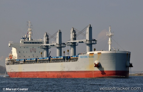
Vessel profile: EUGENIA B is a Cargo with dimensions m x m.
This page combines live AIS, route history, probable destination signals, nearby traffic, and port activity for practical vessel monitoring.
The current position of vessel EUGENIA B is 24.73722 lat / -85.81573 lng. Updated: 2026-06-22 08:06:50 UTCNearest reference points:
- 78 nm SW of Boca Grande
- 62 nm SW of Anna Maria
Currently sailing under the flag of Marshall Islands ![]()
Details:
Live Vessel EUGENIA B Analytics (details, animations, etc.)
Recent AIS points (UTC):
2026-06-22 04:04:07 UTC · 25.14333, -86.57167 · SOG 11 kn · COG -1°2026-06-22 05:58:07 UTC · 24.96500, -86.20833 · SOG 11 kn · COG -1°
2026-06-22 07:07:08 UTC · 24.83833, -85.99833 · SOG 11 kn · COG -1°
2026-06-22 08:06:50 UTC · 24.73722, -85.81573 · SOG 11.7 kn · COG 115°