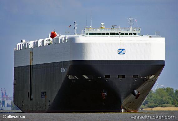
 Brooklands
Current Status
Where is the vessel?
Brooklands is currently in 284 nm SE of Lockeport, based on AIS data received about 14h ago.
Latest AIS update:
Current position: 40.15182° N, 60.90862° W (284 nm SE of Lockeport)
Average speed (last 7 days): Loading…
Average speed (last 30 days): Loading…
Vessel profile: Brooklands is a Vehicles Carrier with dimensions 199m x 200m.
This page combines live AIS, route history, probable destination signals, nearby traffic, and port activity for practical vessel monitoring.
The current position of vessel Brooklands is 40.15182 lat / -60.90862 lng. Updated: 2026-07-03 15:34:17 UTCNearest reference points:
- 260 nm W of Jonesville
Currently sailing under the flag of Liberia ![]()
Details:
Live Vessel Brooklands Analytics (details, animations, etc.)
Recent AIS points (UTC):
2026-07-03 11:34:32 UTC · 40.11335, -62.35770 · SOG 16.4 kn · COG 91°2026-07-03 13:43:17 UTC · 40.12441, -61.58396 · SOG 16.6 kn · COG 83°
2026-07-03 13:43:17 UTC · 40.12441, -61.58396 · SOG 16.6 kn · COG 83°
2026-07-03 15:34:17 UTC · 40.15182, -60.90862 · SOG 15.5 kn · COG 78°