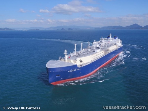
 Eduard Toll
Current Status
Where is the vessel?
Eduard Toll is currently in 223 nm W of Matochkin Shar, based on AIS data received about 15h ago.
Latest AIS update:
Current position: 74.27244° N, 41.75233° E (223 nm W of Matochkin Shar)
Average speed (last 7 days): Loading…
Average speed (last 30 days): Loading…
Vessel profile: Eduard Toll is a Lng Tanker with dimensions 299m x 299m.
This page combines live AIS, route history, probable destination signals, nearby traffic, and port activity for practical vessel monitoring.
The current position of vessel Eduard Toll is 74.27244 lat / 41.75233 lng. Updated: 2026-05-20 13:43:46 UTCCurrently sailing under the flag of Bahamas ![]()
Details:
Live Vessel Eduard Toll Analytics (details, animations, etc.)
Recent AIS points (UTC):
2026-05-20 10:08:10 UTC · 74.71567, 45.15037 · SOG 16.9 kn · COG 244°2026-05-20 11:30:46 UTC · 74.55414, 43.82374 · SOG 17.1 kn · COG 247°
2026-05-20 13:43:46 UTC · 74.27244, 41.75233 · SOG 16.7 kn · COG 244°
2026-05-20 13:43:46 UTC · 74.27244, 41.75233 · SOG 16.7 kn · COG 244°