 NORA
NORA
Current Status
Where is the vessel?
NORA is currently in 47 nm E of Warana, based on AIS data received about 14h ago.
Latest AIS update:
Current position: 26.36120° S, 154.06177° E (47 nm E of Warana)
Average speed (last 7 days): Loading…
Average speed (last 30 days): Loading…
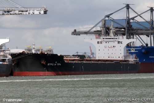
Vessel profile: NORA is a Bulk Carrier with dimensions 292m x 292m.
This page combines live AIS, route history, probable destination signals, nearby traffic, and port activity for practical vessel monitoring.
The current position of vessel NORA is -26.36120 lat / 154.06177 lng. Updated: 2026-05-20 22:07:51 UTCNearest reference points:
- Near MOOLOOLABA
- Near Minyama
- Near NOOSAVILLE
Currently sailing under the flag of Malta ![]()
NORA built in 2016 year
Deadweight:
181031 tDetails:
Live Vessel NORA Analytics (details, animations, etc.)
Recent AIS points (UTC):
2026-05-20 16:09:00 UTC · -25.54162, 154.06198 · SOG 10.6 kn · COG 173°2026-05-20 17:57:39 UTC · -25.83607, 154.06985 · SOG 9.3 kn · COG 181°
2026-05-20 21:44:30 UTC · -26.31167, 154.06168 · SOG 7 kn · COG -1°
2026-05-20 22:07:51 UTC · -26.36120, 154.06177 · SOG 7.7 kn · COG 180°