 vesseltracker.com
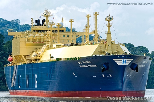
Hyundai Peacepia
Current StatusWhere is the vessel?
Hyundai Peacepia is currently in 207 nm S of Juazeiro-Pi, based on AIS data received less than 1h ago.
Latest AIS update:
Current position: 1.84536° N, 40.72367° W (207 nm S of Juazeiro-Pi)
Average speed (last 7 days): Loading…
Average speed (last 30 days): Loading…
Vessel profile: Hyundai Peacepia is a Lng Tanker with dimensions 46m x 295m.
This page combines live AIS, route history, probable destination signals, nearby traffic, and port activity for practical vessel monitoring.
The current position of vessel Hyundai Peacepia is 1.84536 lat / -40.72367 lng. Updated: 2026-05-02 22:16:01 UTCNearest reference points:
- 141 nm N of Itarema
Details:
Live Vessel Hyundai Peacepia Analytics (details, animations, etc.)
Recent AIS points (UTC):
2026-05-02 19:31:51 UTC · 1.44834, -40.07404 · SOG 16.5 kn · COG 300°2026-05-02 19:50:31 UTC · 1.49103, -40.14855 · SOG 16.6 kn · COG 300°
2026-05-02 21:38:43 UTC · 1.75289, -40.57665 · SOG 16.7 kn · COG 303°
2026-05-02 22:16:01 UTC · 1.84536, -40.72367 · SOG 16.9 kn · COG 303°