 Msc Mirjam
Current Status
Where is the vessel?
Msc Mirjam is currently in 25 nm S of JINGTANG, based on AIS data received about 15h ago.
Latest AIS update:
Current position: 38.78036° N, 119.10496° E (25 nm S of JINGTANG)
Average speed (last 7 days): Loading…
Average speed (last 30 days): Loading…
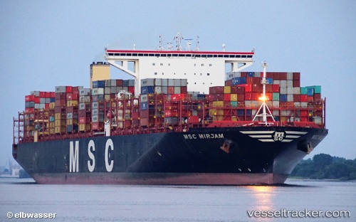
Vessel profile: Msc Mirjam is a Container Ship with dimensions 400m x 59m.
This page combines live AIS, route history, probable destination signals, nearby traffic, and port activity for practical vessel monitoring.
The current position of vessel Msc Mirjam is 38.78036 lat / 119.10496 lng. Updated: 2026-06-10 02:04:21 UTCNearest reference points:
- 28 nm SE of JINGTANG
- 19 nm SE of JINGTANG
- 13 nm SE of Caofeidian Pt
Currently sailing under the flag of Liberia ![]()
Details:
Live Vessel Msc Mirjam Analytics (details, animations, etc.)
Recent AIS points (UTC):
2026-06-09 23:06:52 UTC · 38.73578, 119.56023 · SOG 8.2 kn · COG 277°2026-06-10 00:06:21 UTC · 38.75179, 119.39102 · SOG 7.9 kn · COG 276°
2026-06-10 01:17:30 UTC · 38.76956, 119.20976 · SOG 6.9 kn · COG 284°
2026-06-10 02:04:21 UTC · 38.78036, 119.10496 · SOG 5.7 kn · COG 277°