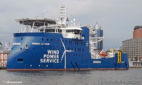
 WINDEA LA COUR
Current Status
Where is the vessel?
WINDEA LA COUR is currently in 19 nm NW of Town Quays/Drogheda, based on AIS data received about 14h ago.
Latest AIS update:
Current position: 53.99672° N, 6.09016° E (19 nm NW of Town Quays/Drogheda)
Average speed (last 7 days): Loading…
Average speed (last 30 days): Loading…
Vessel profile: WINDEA LA COUR is a Dredging or underwater ops with dimensions m x m.
This page combines live AIS, route history, probable destination signals, nearby traffic, and port activity for practical vessel monitoring.
The current position of vessel WINDEA LA COUR is 53.99672 lat / 6.09016 lng. Updated: 2026-05-21 19:54:24 UTCNearest reference points:
- 14 nm NW of Town Quays/Drogheda
- Near Borkum
- Near Hempens
Currently sailing under the flag of Portugal ![]()
Details:
Live Vessel WINDEA LA COUR Analytics (details, animations, etc.)
Recent AIS points (UTC):
2026-05-21 15:56:54 UTC · 54.05460, 6.03401 · SOG 7.3 kn · COG 24°2026-05-21 17:06:55 UTC · 54.07487, 6.04410 · SOG 5 kn · COG 159°
2026-05-21 18:06:03 UTC · 53.99591, 6.08795 · SOG 0.1 kn · COG 310°
2026-05-21 19:54:24 UTC · 53.99672, 6.09016 · SOG 0.2 kn · COG 348°