 vesseltracker.com
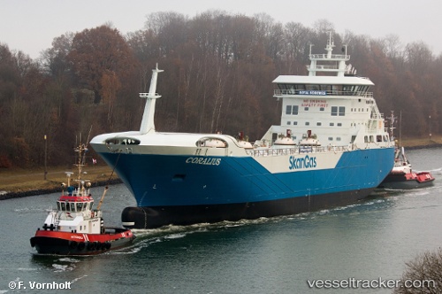
 Coralius
Current Status
Where is the vessel?
Coralius is currently in 22 nm SE of Mandal, based on AIS data received less than 1h ago.
Latest AIS update:
Current position: 57.69933° N, 7.73616° E (22 nm SE of Mandal)
Average speed (last 7 days): Loading…
Average speed (last 30 days): Loading…
Vessel profile: Coralius is a Lng Tanker with dimensions 100m x 18m.
This page combines live AIS, route history, probable destination signals, nearby traffic, and port activity for practical vessel monitoring.
The current position of vessel Coralius is 57.69933 lat / 7.73616 lng. Updated: 2026-05-13 23:52:48 UTCNearest reference points:
- Near Kristiansand
- Near HANSTHOLM
- Near Thyborøn
Currently sailing under the flag of Sweden ![]()
Details:
Live Vessel Coralius Analytics (details, animations, etc.)
Recent AIS points (UTC):
2026-05-13 19:55:13 UTC · 57.88073, 6.21944 · SOG 13.4 kn · COG 127°2026-05-13 21:53:32 UTC · 57.71030, 6.92122 · SOG 13.4 kn · COG 93°
2026-05-13 22:59:02 UTC · 57.70517, 7.36693 · SOG 13 kn · COG 91°
2026-05-13 23:52:48 UTC · 57.69933, 7.73616 · SOG 13.2 kn · COG 91°