 vesseltracker.com
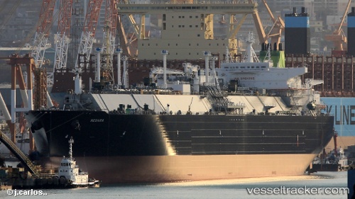
Megara
Current StatusWhere is the vessel?
Megara is currently in 172 nm W of Sundance, based on AIS data received about 14h ago.
Latest AIS update:
Current position: 24.31705° N, 137.93915° W (172 nm W of Sundance)
Average speed (last 7 days): Loading…
Average speed (last 30 days): Loading…
Vessel profile: Megara is a Lng Tanker with dimensions 46m x 295m.
This page combines live AIS, route history, probable destination signals, nearby traffic, and port activity for practical vessel monitoring.
The current position of vessel Megara is 24.31705 lat / -137.93915 lng. Updated: 2026-05-18 07:46:27 UTCDetails:
Live Vessel Megara Analytics (details, animations, etc.)
Recent AIS points (UTC):
2026-05-18 04:03:12 UTC · 24.75300, -138.99300 · SOG 17 kn · COG 113°2026-05-18 05:28:06 UTC · 24.57823, -138.59232 · SOG 17.2 kn · COG 112°
2026-05-18 07:31:36 UTC · 24.34492, -138.00906 · SOG 17 kn · COG 110°
2026-05-18 07:46:27 UTC · 24.31705, -137.93915 · SOG 16.9 kn · COG 110°