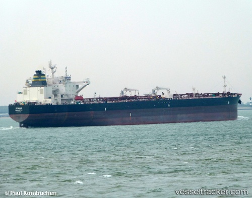
 Ryman
Ryman
Current Status
Where is the vessel?
Ryman is currently in 16 nm SE of Sheppard, based on AIS data received about 14h ago.
Latest AIS update:
Current position: 29.06501° N, 94.67085° W (16 nm SE of Sheppard)
Average speed (last 7 days): Loading…
Average speed (last 30 days): Loading…
Vessel profile: Ryman is a Crude Oil Tanker with dimensions 250m x 44m.
This page combines live AIS, route history, probable destination signals, nearby traffic, and port activity for practical vessel monitoring.
The current position of vessel Ryman is 29.06501 lat / -94.67085 lng. Updated: 2026-05-20 11:22:56 UTCNearest reference points:
- 12 nm SE of Port Bolivar
- Near Port Bolivar
- Near Texas City
Currently sailing under the flag of Malta ![]()
Details:
Live Vessel Ryman Analytics (details, animations, etc.)
Recent AIS points (UTC):
2026-05-20 08:10:59 UTC · 29.06403, -94.67106 · SOG 0.1 kn · COG 82°2026-05-20 10:01:56 UTC · 29.06469, -94.67098 · SOG 0.2 kn · COG 89°
2026-05-20 10:11:00 UTC · 29.06481, -94.67095 · SOG 0.1 kn · COG 96°
2026-05-20 11:22:56 UTC · 29.06501, -94.67085 · SOG 0.2 kn · COG 94°