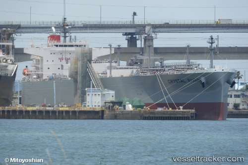
 Crystal River
Current Status
Where is the vessel?
Crystal River is currently in 110 nm E of Charlotteville, based on AIS data received about 15h ago.
Latest AIS update:
Current position: 11.16407° N, 58.69245° W (110 nm E of Charlotteville)
Average speed (last 7 days): Loading…
Average speed (last 30 days): Loading…
Vessel profile: Crystal River is a Lpg Tanker with dimensions 230m x 37m.
This page combines live AIS, route history, probable destination signals, nearby traffic, and port activity for practical vessel monitoring.
The current position of vessel Crystal River is 11.16407 lat / -58.69245 lng. Updated: 2026-05-20 07:25:19 UTCNearest reference points:
- Near Saint Michael
- 16 nm E of Galeota Point
Currently sailing under the flag of Panama ![]()
Details:
Live Vessel Crystal River Analytics (details, animations, etc.)
Recent AIS points (UTC):
2026-05-20 05:04:04 UTC · 10.86902, -58.17320 · SOG 15.4 kn · COG 298°2026-05-20 06:08:11 UTC · 11.00063, -58.41451 · SOG 15 kn · COG 299°
2026-05-20 07:13:10 UTC · 11.13941, -58.64898 · SOG 14.6 kn · COG 301°
2026-05-20 07:25:19 UTC · 11.16407, -58.69245 · SOG 14.6 kn · COG 302°