 Shinryu Maru
Current Status
Where is the vessel?
Shinryu Maru is currently in Near Oita, based on AIS data received about 17h ago.
Latest AIS update:
Current position: 33.28164° N, 131.60522° E (Near Oita)
Average speed (last 7 days): Loading…
Average speed (last 30 days): Loading…
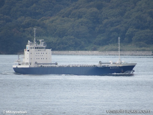
Vessel profile: Shinryu Maru is a General Cargo Ship with dimensions 84m x 13m.
This page combines live AIS, route history, probable destination signals, nearby traffic, and port activity for practical vessel monitoring.
The current position of vessel Shinryu Maru is 33.28164 lat / 131.60522 lng. Updated: 2026-05-20 10:03:59 UTCNearest reference points:
- Near Oita
- Near Kitsuki
- 14 nm SW of HIKARI
Currently sailing under the flag of Japan ![]()
Details:
Live Vessel Shinryu Maru Analytics (details, animations, etc.)
Recent AIS points (UTC):
2026-05-20 10:03:59 UTC · 33.28164, 131.60522 · SOG 13.2 kn · COG 214°2026-05-20 10:03:59 UTC · 33.28164, 131.60522 · SOG 13.2 kn · COG 214°
2026-05-20 10:03:59 UTC · 33.28164, 131.60522 · SOG 13.2 kn · COG 214°
2026-05-20 10:03:59 UTC · 33.28164, 131.60522 · SOG 13.2 kn · COG 214°