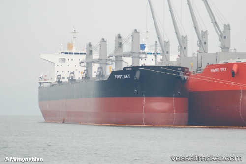
 First Sky
Current Status
Where is the vessel?
First Sky is currently in Near Caleta Coloso, based on AIS data received about 15h ago.
Latest AIS update:
Current position: 23.66324° S, 70.41497° W (Near Caleta Coloso)
Average speed (last 7 days): Loading…
Average speed (last 30 days): Loading…
Vessel profile: First Sky is a Bulk Carrier with dimensions 199m x 32m.
This page combines live AIS, route history, probable destination signals, nearby traffic, and port activity for practical vessel monitoring.
The current position of vessel First Sky is -23.66324 lat / -70.41497 lng. Updated: 2026-05-19 11:16:31 UTCNearest reference points:
- 17 nm W of Puerto Angamos
Currently sailing under the flag of Panama ![]()
Details:
Live Vessel First Sky Analytics (details, animations, etc.)
Recent AIS points (UTC):
2026-05-19 08:07:31 UTC · -23.66367, -70.41573 · SOG 0.1 kn · COG 340°2026-05-19 10:01:31 UTC · -23.66368, -70.41572 · SOG 0.1 kn · COG 344°
2026-05-19 10:40:31 UTC · -23.66344, -70.41525 · SOG 0.1 kn · COG 327°
2026-05-19 11:16:31 UTC · -23.66324, -70.41497 · SOG 0.1 kn · COG 313°