 RISING SKY.GR
Current Status
Where is the vessel?
RISING SKY.GR is currently in 131 nm W of Stybarrow Venture MV17, based on AIS data received about 14h ago.
Latest AIS update:
Current position: 20.69471° S, 111.61527° E (131 nm W of Stybarrow Venture MV17)
Average speed (last 7 days): Loading…
Average speed (last 30 days): Loading…
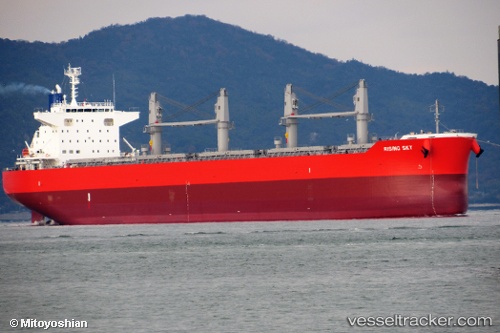
Vessel profile: RISING SKY.GR is a Cargo with dimensions m x m.
This page combines live AIS, route history, probable destination signals, nearby traffic, and port activity for practical vessel monitoring.
The current position of vessel RISING SKY.GR is -20.69471 lat / 111.61527 lng. Updated: 2026-05-19 21:24:25 UTCCurrently sailing under the flag of Marshall Islands ![]()
Details:
Live Vessel RISING SKY.GR Analytics (details, animations, etc.)
Recent AIS points (UTC):
2026-05-19 18:10:56 UTC · -20.12568, 111.32868 · SOG 11.6 kn · COG 148°2026-05-19 19:16:55 UTC · -20.31732, 111.42665 · SOG 11.9 kn · COG 151°
2026-05-19 20:17:16 UTC · -20.49688, 111.51418 · SOG 11.9 kn · COG 151°
2026-05-19 21:24:25 UTC · -20.69471, 111.61527 · SOG 11.8 kn · COG 152°