 MARCANDREA
Current Status
Where is the vessel?
MARCANDREA is currently in 24 nm NE of MARSAMXETT, based on AIS data received about 14h ago.
Latest AIS update:
Current position: 36.19005° N, 14.85150° E (24 nm NE of MARSAMXETT)
Average speed (last 7 days): Loading…
Average speed (last 30 days): Loading…
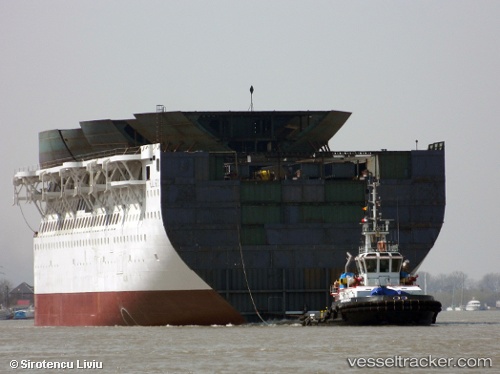
Vessel profile: MARCANDREA is a Tug with dimensions m x m.
This page combines live AIS, route history, probable destination signals, nearby traffic, and port activity for practical vessel monitoring.
The current position of vessel MARCANDREA is 36.19005 lat / 14.85150 lng. Updated: 2026-05-21 07:09:57 UTCNearest reference points:
- 13 nm E of Il-Kappara
- Near Xghajra
- 18 nm E of Il-Kappara
Currently sailing under the flag of Malta ![]()
Details:
Live Vessel MARCANDREA Analytics (details, animations, etc.)
Recent AIS points (UTC):
2026-05-21 04:03:11 UTC · 36.20490, 14.80900 · SOG 10.1 kn · COG 76°2026-05-21 04:29:18 UTC · 36.20440, 14.86688 · SOG 1.6 kn · COG 180°
2026-05-21 05:50:03 UTC · 36.18190, 14.85888 · SOG 0.5 kn · COG 340°
2026-05-21 07:09:57 UTC · 36.19005, 14.85150 · SOG 0.6 kn · COG 320°