 ARAUCARIA
Current Status
Where is the vessel?
ARAUCARIA is currently in 14 nm S of Népoui, based on AIS data received about 14h ago.
Latest AIS update:
Current position: 21.54490° S, 164.94630° E (14 nm S of Népoui)
Average speed (last 7 days): Loading…
Average speed (last 30 days): Loading…
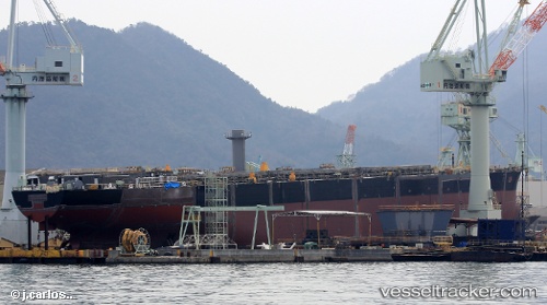
Vessel profile: ARAUCARIA is a Cargo with dimensions m x m.
This page combines live AIS, route history, probable destination signals, nearby traffic, and port activity for practical vessel monitoring.
The current position of vessel ARAUCARIA is -21.54490 lat / 164.94630 lng. Updated: 2026-05-20 10:09:58 UTCNearest reference points:
- Near Noumea
- 39 nm E of Ouvea
Currently sailing under the flag of Marshall Islands ![]()
Details:
Live Vessel ARAUCARIA Analytics (details, animations, etc.)
Recent AIS points (UTC):
2026-05-20 07:28:18 UTC · -21.23148, 164.54041 · SOG 11.6 kn · COG 135°2026-05-20 08:16:46 UTC · -21.34261, 164.65688 · SOG 11.4 kn · COG 135°
2026-05-20 09:37:08 UTC · -21.48790, 164.86525 · SOG 10.5 kn · COG 129°
2026-05-20 10:09:58 UTC · -21.54490, 164.94630 · SOG 10.3 kn · COG 126°