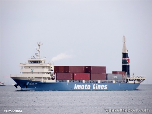
 Futaba
Current Status
Where is the vessel?
Futaba is currently in Near Iruma, based on AIS data received about 15h ago.
Latest AIS update:
Current position: 34.60240° N, 138.94087° E (Near Iruma)
Average speed (last 7 days): Loading…
Average speed (last 30 days): Loading…
Vessel profile: Futaba is a Container Ship with dimensions 94m x 14m.
This page combines live AIS, route history, probable destination signals, nearby traffic, and port activity for practical vessel monitoring.
The current position of vessel Futaba is 34.60240 lat / 138.94087 lng. Updated: 2026-07-02 18:01:48 UTCNearest reference points:
- Near Iruma
- 10 nm SE of Iruma
- Near Toshima/Tokyo
Currently sailing under the flag of Japan ![]()
Details:
Live Vessel Futaba Analytics (details, animations, etc.)
Recent AIS points (UTC):
2026-07-02 13:30:19 UTC · 35.09167, 139.61470 · SOG 11 kn · COG 241°2026-07-02 16:09:07 UTC · 34.83431, 139.17949 · SOG 10.3 kn · COG 217°
2026-07-02 16:18:08 UTC · 34.81421, 139.15961 · SOG 10.3 kn · COG 216°
2026-07-02 18:01:48 UTC · 34.60240, 138.94087 · SOG 8.6 kn · COG 238°