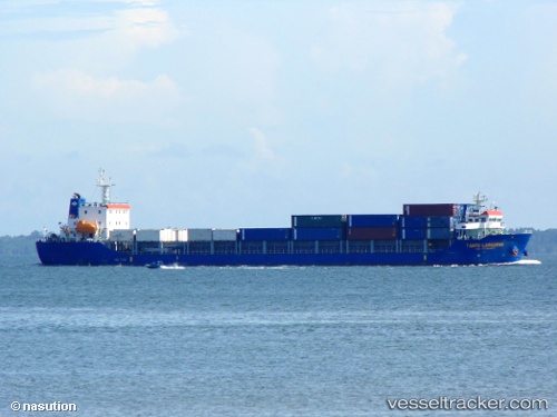
 TANTO LANGGENG
Current Status
Where is the vessel?
TANTO LANGGENG is currently in 89 nm N of Tanjung Pandan, based on AIS data received about 14h ago.
Latest AIS update:
Current position: 1.32103° S, 108.02362° E (89 nm N of Tanjung Pandan)
Average speed (last 7 days): Loading…
Average speed (last 30 days): Loading…
Vessel profile: TANTO LANGGENG is a Container Ship with dimensions 120m x 22m.
This page combines live AIS, route history, probable destination signals, nearby traffic, and port activity for practical vessel monitoring.
The current position of vessel TANTO LANGGENG is -1.32103 lat / 108.02362 lng. Updated: 2026-07-10 06:40:44 UTCNearest reference points:
- 74 nm N of Belitung
- 81 nm N of Belitung
- 53 nm NE of Tanjung Pandan
Currently sailing under the flag of Indonesia ![]()
TANTO LANGGENG built in 2016 year
Deadweight:
8366 tDetails:
Live Vessel TANTO LANGGENG Analytics (details, animations, etc.)
Recent AIS points (UTC):
2026-07-10 06:40:44 UTC · -1.32103, 108.02362 · SOG 9.1 kn · COG -1°2026-07-10 06:40:44 UTC · -1.32103, 108.02362 · SOG 9.1 kn · COG -1°
2026-07-10 06:40:44 UTC · -1.32103, 108.02362 · SOG 9.1 kn · COG -1°
2026-07-10 06:40:44 UTC · -1.32103, 108.02362 · SOG 9.1 kn · COG -1°