 IB ATLANTIC II
Current Status
Where is the vessel?
IB ATLANTIC II is currently in Near Lome, based on AIS data received about 14h ago.
Latest AIS update:
Current position: 6.06136° N, 1.25860° E (Near Lome)
Average speed (last 7 days): Loading…
Average speed (last 30 days): Loading…
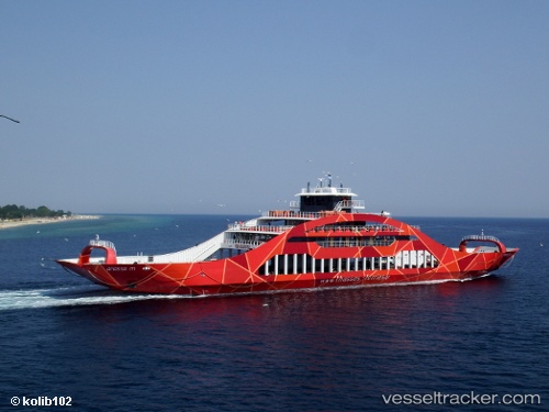
Vessel profile: IB ATLANTIC II is a Passenger with dimensions m x m.
This page combines live AIS, route history, probable destination signals, nearby traffic, and port activity for practical vessel monitoring.
The current position of vessel IB ATLANTIC II is 6.06136 lat / 1.25860 lng. Updated: 2026-05-20 11:51:49 UTCNearest reference points:
- Near Ablogamé
- Near Cotonou
- Near Kirikiri
Currently sailing under the flag of Saint Kitts and Nevis ![]()
Details:
Live Vessel IB ATLANTIC II Analytics (details, animations, etc.)
Recent AIS points (UTC):
2026-05-20 08:07:13 UTC · 6.06000, 1.25833 · SOG 0 kn · COG -1°2026-05-20 09:39:50 UTC · 6.06123, 1.25891 · SOG 0.6 kn · COG 43°
2026-05-20 10:27:53 UTC · 6.06118, 1.25903 · SOG 0.3 kn · COG 43°
2026-05-20 11:51:49 UTC · 6.06136, 1.25860 · SOG 0.2 kn · COG 26°