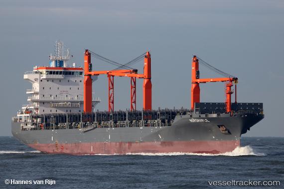
 MARIUS
Current Status
Where is the vessel?
MARIUS is currently in 61 nm E of Lakes Entrance, based on AIS data received about 14h ago.
Latest AIS update:
Current position: 38.17401° S, 149.21547° E (61 nm E of Lakes Entrance)
Average speed (last 7 days): Loading…
Average speed (last 30 days): Loading…
Vessel profile: MARIUS is a Cargo A with dimensions m x m.
This page combines live AIS, route history, probable destination signals, nearby traffic, and port activity for practical vessel monitoring.
The current position of vessel MARIUS is -38.17401 lat / 149.21547 lng. Updated: 2026-07-03 07:40:31 UTCNearest reference points:
- 26 nm SE of Lakes Entrance
Details:
Live Vessel MARIUS Analytics (details, animations, etc.)
Recent AIS points (UTC):
2026-07-03 04:51:29 UTC · -37.86167, 149.67500 · SOG 10 kn · COG -1°2026-07-03 05:27:28 UTC · -37.91167, 149.56332 · SOG 10 kn · COG -1°
2026-07-03 07:22:59 UTC · -38.14058, 149.26128 · SOG 9.9 kn · COG 233°
2026-07-03 07:40:31 UTC · -38.17401, 149.21547 · SOG 10.4 kn · COG 230°