 SIDER AMBOS
Current Status
Where is the vessel?
SIDER AMBOS is currently in 32 nm S of El Morche, based on AIS data received about 15h ago.
Latest AIS update:
Current position: 36.19617° N, 4.01308° W (32 nm S of El Morche)
Average speed (last 7 days): Loading…
Average speed (last 30 days): Loading…
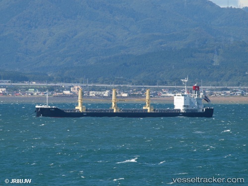
Vessel profile: SIDER AMBOS is a Cargo with dimensions m x m.
This page combines live AIS, route history, probable destination signals, nearby traffic, and port activity for practical vessel monitoring.
The current position of vessel SIDER AMBOS is 36.19617 lat / -4.01308 lng. Updated: 2026-05-24 13:24:02 UTCNearest reference points:
- 24 nm S of El Morche
- 31 nm SE of Fuengirola
- Near VELEZ
Currently sailing under the flag of Portugal ![]()
Details:
Live Vessel SIDER AMBOS Analytics (details, animations, etc.)
Recent AIS points (UTC):
2026-05-24 10:09:24 UTC · 36.28525, -3.33074 · SOG 10.5 kn · COG 264°2026-05-24 12:22:34 UTC · 36.22724, -3.80528 · SOG 10.4 kn · COG 259°
2026-05-24 13:16:33 UTC · 36.19890, -3.98894 · SOG 9.6 kn · COG 267°
2026-05-24 13:24:02 UTC · 36.19617, -4.01308 · SOG 9.5 kn · COG 273°