 Heath Wood
Current Status
Where is the vessel?
Heath Wood is currently in Near Myrtle Grove, based on AIS data received about 15h ago.
Latest AIS update:
Current position: 29.62354° N, 89.91061° W (Near Myrtle Grove)
Average speed (last 7 days): Loading…
Average speed (last 30 days): Loading…
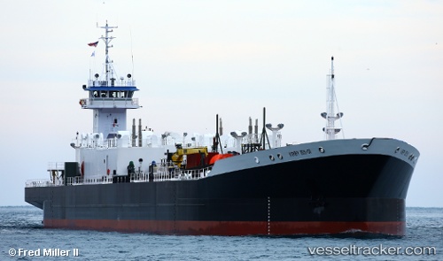
Vessel profile: Heath Wood is a Pusher Tug with dimensions 184m x 22m.
This page combines live AIS, route history, probable destination signals, nearby traffic, and port activity for practical vessel monitoring.
The current position of vessel Heath Wood is 29.62354 lat / -89.91061 lng. Updated: 2026-06-17 11:41:42 UTCNearest reference points:
- Near Pointe a la Hache
- Near Port Sulphur
- Near Meraux
Currently sailing under the flag of USA ![]()
Details:
Live Vessel Heath Wood Analytics (details, animations, etc.)
Recent AIS points (UTC):
2026-06-17 07:28:17 UTC · 29.95903, -90.29877 · SOG 0.1 kn · COG 219°2026-06-17 07:53:21 UTC · 29.97072, -90.25512 · SOG 14.3 kn · COG 103°
2026-06-17 09:56:31 UTC · 29.88640, -89.90261 · SOG 14.1 kn · COG 175°
2026-06-17 11:41:42 UTC · 29.62354, -89.91061 · SOG 13.9 kn · COG 124°