 HIGH NAVIGATOR
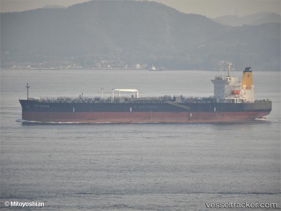
Current Status
Where is the vessel?
HIGH NAVIGATOR is currently in Near Iquique, based on AIS data received about 14h ago.
Latest AIS update:
Current position: 20.10661° S, 70.31083° W (Near Iquique)
Average speed (last 7 days): Loading…
Average speed (last 30 days): Loading…
Vessel profile: HIGH NAVIGATOR is a Tanker with dimensions m x m.
This page combines live AIS, route history, probable destination signals, nearby traffic, and port activity for practical vessel monitoring.
The current position of vessel HIGH NAVIGATOR is -20.10661 lat / -70.31083 lng. Updated: 2026-07-03 13:58:00 UTCNearest reference points:
- Near Arica
Currently sailing under the flag of Liberia ![]()
Details:
Live Vessel HIGH NAVIGATOR Analytics (details, animations, etc.)
Recent AIS points (UTC):
2026-07-03 10:12:44 UTC · -19.59226, -70.96456 · SOG 12.9 kn · COG 131°2026-07-03 11:39:59 UTC · -19.79314, -70.71369 · SOG 12.8 kn · COG 129°
2026-07-03 13:04:18 UTC · -19.98359, -70.46452 · SOG 12.9 kn · COG 135°
2026-07-03 13:58:00 UTC · -20.10661, -70.31083 · SOG 10.7 kn · COG 91°