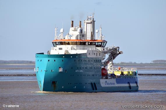
 Acta Auriga
Current Status
Where is the vessel?
Acta Auriga is currently in 38 nm W of Westerland, based on AIS data received about 14h ago.
Latest AIS update:
Current position: 55.07853° N, 7.25138° E (38 nm W of Westerland)
Average speed (last 7 days): Loading…
Average speed (last 30 days): Loading…
Vessel profile: Acta Auriga is a Offshore Support Vessel with dimensions m x m.
This page combines live AIS, route history, probable destination signals, nearby traffic, and port activity for practical vessel monitoring.
The current position of vessel Acta Auriga is 55.07853 lat / 7.25138 lng. Updated: 2026-06-13 15:27:43 UTCNearest reference points:
- Near Basel
- Near Blavand
- Near Fanoe
Currently sailing under the flag of Netherlands ![]()
Details:
Live Vessel Acta Auriga Analytics (details, animations, etc.)
Recent AIS points (UTC):
2026-06-13 11:35:33 UTC · 55.07852, 7.25130 · SOG 0.1 kn · COG -1°2026-06-13 13:50:30 UTC · 55.07850, 7.25130 · SOG 0.3 kn · COG 276°
2026-06-13 14:14:48 UTC · 55.07852, 7.25131 · SOG 0.2 kn · COG 275°
2026-06-13 15:27:43 UTC · 55.07853, 7.25138 · SOG 0.1 kn · COG -1°