 vesseltracker.com
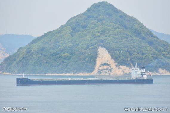
 DIAMOND GLOBE
Current Status
Where is the vessel?
DIAMOND GLOBE is currently in 20 nm SE of Dolni Kounice, based on AIS data received less than 1h ago.
Latest AIS update:
Current position: 49.46333° N, 163.72667° E (20 nm SE of Dolni Kounice)
Average speed (last 7 days): Loading…
Average speed (last 30 days): Loading…
Vessel profile: DIAMOND GLOBE is a Bulk Carrier with dimensions 32m x 229m.
This page combines live AIS, route history, probable destination signals, nearby traffic, and port activity for practical vessel monitoring.
The current position of vessel DIAMOND GLOBE is 49.46333 lat / 163.72667 lng. Updated: 2026-05-14 04:52:53 UTCCurrently sailing under the flag of Marshall Islands ![]()
DIAMOND GLOBE built in 2018 year
Deadweight:
82027 tDetails:
Live Vessel DIAMOND GLOBE Analytics (details, animations, etc.)
Recent AIS points (UTC):
2026-05-14 01:30:21 UTC · 49.70849, 164.61136 · SOG 10.8 kn · COG 246°2026-05-14 02:10:53 UTC · 49.65833, 164.43668 · SOG 10 kn · COG -1°
2026-05-14 04:16:38 UTC · 49.50739, 163.88565 · SOG 11 kn · COG 246°
2026-05-14 04:52:53 UTC · 49.46333, 163.72667 · SOG 11 kn · COG -1°