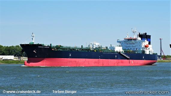
 STI MARVEL
Current Status
Where is the vessel?
STI MARVEL is currently in 55 nm N of Pagerungan, based on AIS data received about 15h ago.
Latest AIS update:
Current position: 6.00167° S, 115.95167° E (55 nm N of Pagerungan)
Average speed (last 7 days): Loading…
Average speed (last 30 days): Loading…
Vessel profile: STI MARVEL is a Tanker with dimensions m x m.
This page combines live AIS, route history, probable destination signals, nearby traffic, and port activity for practical vessel monitoring.
The current position of vessel STI MARVEL is -6.00167 lat / 115.95167 lng. Updated: 2026-05-20 10:26:55 UTCNearest reference points:
- 74 nm S of MEKAR PUTIH
- 34 nm N of Arjasa
- 70 nm S of MEKAR PUTIH
Currently sailing under the flag of Marshall Islands ![]()
Details:
Live Vessel STI MARVEL Analytics (details, animations, etc.)
Recent AIS points (UTC):
2026-05-20 07:29:57 UTC · -5.92833, 115.28500 · SOG 13 kn · COG -1°2026-05-20 07:53:59 UTC · -5.94333, 115.37500 · SOG 13 kn · COG -1°
2026-05-20 09:47:58 UTC · -5.98333, 115.80667 · SOG 13 kn · COG -1°
2026-05-20 10:26:55 UTC · -6.00167, 115.95167 · SOG 13 kn · COG -1°