 Tachibana
Current Status
Where is the vessel?
Tachibana is currently in Near TADOTSU, based on AIS data received about 15h ago.
Latest AIS update:
Current position: 34.29303° N, 133.65916° E (Near TADOTSU)
Average speed (last 7 days): Loading…
Average speed (last 30 days): Loading…
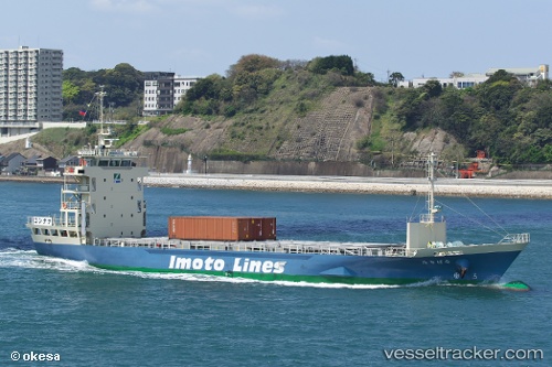
Vessel profile: Tachibana is a General Cargo Ship with dimensions 73m x 13m.
This page combines live AIS, route history, probable destination signals, nearby traffic, and port activity for practical vessel monitoring.
The current position of vessel Tachibana is 34.29303 lat / 133.65916 lng. Updated: 2026-05-20 10:11:59 UTCNearest reference points:
- Near FUKUYAMA
- Near MIZUSHIMA
- Near Sakaide
Currently sailing under the flag of Japan ![]()
Details:
Live Vessel Tachibana Analytics (details, animations, etc.)
Recent AIS points (UTC):
2026-05-20 07:50:19 UTC · 34.13524, 133.12489 · SOG 12.1 kn · COG 60°2026-05-20 07:51:48 UTC · 34.13795, 133.12997 · SOG 12.1 kn · COG 59°
2026-05-20 10:05:09 UTC · 34.29264, 133.63281 · SOG 11.9 kn · COG 88°
2026-05-20 10:11:59 UTC · 34.29303, 133.65916 · SOG 11.3 kn · COG 86°