 Dai3oukaimaru
Current Status
Where is the vessel?
Dai3oukaimaru is currently in 17 nm SE of Sanmu, based on AIS data received about 15h ago.
Latest AIS update:
Current position: 35.43688° N, 140.68730° E (17 nm SE of Sanmu)
Average speed (last 7 days): Loading…
Average speed (last 30 days): Loading…
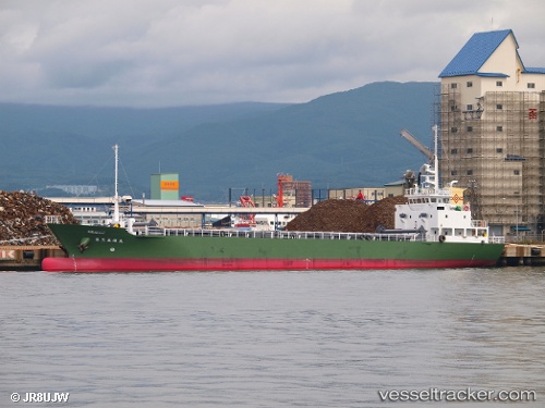
Vessel profile: Dai3oukaimaru is a General Cargo Ship with dimensions 67m x 20m.
This page combines live AIS, route history, probable destination signals, nearby traffic, and port activity for practical vessel monitoring.
The current position of vessel Dai3oukaimaru is 35.43688 lat / 140.68730 lng. Updated: 2026-05-19 22:27:07 UTCNearest reference points:
- Near OHARA
- Near KASHIMA
- 12 nm E of CHOSHI
Currently sailing under the flag of Japan ![]()
Details:
Live Vessel Dai3oukaimaru Analytics (details, animations, etc.)
Recent AIS points (UTC):
2026-05-19 19:21:48 UTC · 35.01243, 140.18498 · SOG 11.1 kn · COG 59°2026-05-19 19:44:49 UTC · 35.05217, 140.25906 · SOG 11.3 kn · COG 57°
2026-05-19 22:15:39 UTC · 35.40608, 140.66292 · SOG 11.3 kn · COG 34°
2026-05-19 22:27:07 UTC · 35.43688, 140.68730 · SOG 11.5 kn · COG 33°