 Keiyo Maru
Current Status
Where is the vessel?
Keiyo Maru is currently in Near Osaka, based on AIS data received about 14h ago.
Latest AIS update:
Current position: 34.62350° N, 135.38260° E (Near Osaka)
Average speed (last 7 days): Loading…
Average speed (last 30 days): Loading…
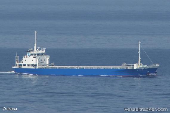
Vessel profile: Keiyo Maru is a General Cargo Ship with dimensions 76m x 11m.
This page combines live AIS, route history, probable destination signals, nearby traffic, and port activity for practical vessel monitoring.
The current position of vessel Keiyo Maru is 34.62350 lat / 135.38260 lng. Updated: 2026-06-28 07:50:54 UTCNearest reference points:
- Near SAKAI
- Near Nada-Ku, Hyogo
- Near Kobe
Currently sailing under the flag of Japan ![]()
Details:
Live Vessel Keiyo Maru Analytics (details, animations, etc.)
Recent AIS points (UTC):
2026-06-28 03:20:51 UTC · 34.62278, 135.38133 · SOG 0.1 kn · COG 75°2026-06-28 04:23:54 UTC · 34.62337, 135.38263 · SOG 0.1 kn · COG 222°
2026-06-28 05:47:52 UTC · 34.62348, 135.38251 · SOG 0.1 kn · COG 211°
2026-06-28 07:50:54 UTC · 34.62350, 135.38260 · SOG 0.1 kn · COG 211°