 Isar Highway
Current Status
Where is the vessel?
Isar Highway is currently in 10 nm NW of Dierhagen, based on AIS data received about 14h ago.
Latest AIS update:
Current position: 54.45190° N, 12.21943° E (10 nm NW of Dierhagen)
Average speed (last 7 days): Loading…
Average speed (last 30 days): Loading…
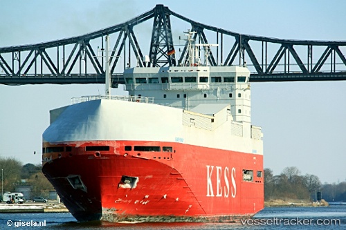
Vessel profile: Isar Highway is a Vehicles Carrier with dimensions 100m x 20m.
This page combines live AIS, route history, probable destination signals, nearby traffic, and port activity for practical vessel monitoring.
The current position of vessel Isar Highway is 54.45190 lat / 12.21943 lng. Updated: 2026-05-20 10:25:58 UTCNearest reference points:
- 10 nm NW of Graal-Müritz
- Near Warnemunde
- Near Rostock
Currently sailing under the flag of Cyprus ![]()
Isar Highway built in 2000 year
Deadweight:
3414 tDetails:
Live Vessel Isar Highway Analytics (details, animations, etc.)
Recent AIS points (UTC):
2026-05-20 07:44:18 UTC · 54.48090, 11.53487 · SOG 9.6 kn · COG 120°2026-05-20 08:06:18 UTC · 54.45375, 11.62184 · SOG 9.7 kn · COG 118°
2026-05-20 09:41:38 UTC · 54.41327, 12.04558 · SOG 9.5 kn · COG 91°
2026-05-20 10:25:58 UTC · 54.45190, 12.21943 · SOG 9.3 kn · COG 45°