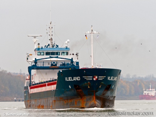
 Vlieland
Current Status
Where is the vessel?
Vlieland is currently in 56 nm W of Tahkoluoto, based on AIS data received about 14h ago.
Latest AIS update:
Current position: 61.44557° N, 19.51204° E (56 nm W of Tahkoluoto)
Average speed (last 7 days): Loading…
Average speed (last 30 days): Loading…
Vessel profile: Vlieland is a Multi Purpose Carrier with dimensions 111m x 14m.
This page combines live AIS, route history, probable destination signals, nearby traffic, and port activity for practical vessel monitoring.
The current position of vessel Vlieland is 61.44557 lat / 19.51204 lng. Updated: 2026-05-22 19:59:23 UTCNearest reference points:
- Near Finström
- Near MARIEHAMN
- Near Maarianhamina (Mariehamn)
Currently sailing under the flag of Netherlands ![]()
Vlieland built in 2005 year
Deadweight:
6000 tDetails:
Live Vessel Vlieland Analytics (details, animations, etc.)
Recent AIS points (UTC):
2026-05-22 16:41:36 UTC · 60.84635, 19.22677 · SOG 11.3 kn · COG 11°2026-05-22 17:31:16 UTC · 60.99811, 19.29895 · SOG 11.1 kn · COG 12°
2026-05-22 19:23:26 UTC · 61.33711, 19.45869 · SOG 11.3 kn · COG 12°
2026-05-22 19:59:23 UTC · 61.44557, 19.51204 · SOG 11.2 kn · COG 12°