 vesseltracker.com
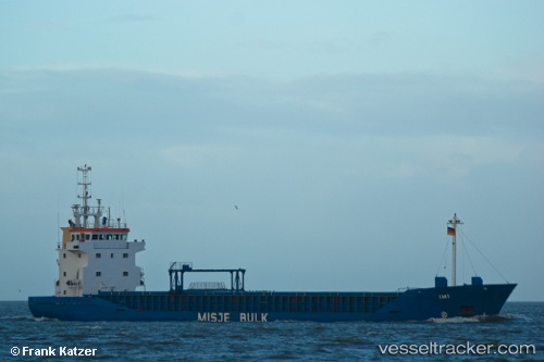
 Imi
Imi
Current Status
Where is the vessel?
Imi is currently in 19 nm E of Famagusta, based on AIS data received about 15h ago.
Latest AIS update:
Current position: 35.22036° N, 34.32184° E (19 nm E of Famagusta)
Average speed (last 7 days): Loading…
Average speed (last 30 days): Loading…
Vessel profile: Imi is a Multi Purpose Carrier with dimensions 90m x 13m.
This page combines live AIS, route history, probable destination signals, nearby traffic, and port activity for practical vessel monitoring.
The current position of vessel Imi is 35.22036 lat / 34.32184 lng. Updated: 2026-05-17 23:40:28 UTCNearest reference points:
- Near Larnaca
- 15 nm SW of Yesilovacik
- 17 nm S of Vasilikos
Currently sailing under the flag of Bahamas ![]()
Imi built in 1993 year
Deadweight:
4293 tDetails:
Live Vessel Imi Analytics (details, animations, etc.)
Recent AIS points (UTC):
2026-05-17 19:33:19 UTC · 35.13945, 34.46406 · SOG 2.3 kn · COG 313°2026-05-17 21:55:48 UTC · 35.19286, 34.38749 · SOG 2.1 kn · COG 296°
2026-05-17 23:05:57 UTC · 35.21202, 34.34511 · SOG 2.1 kn · COG 286°
2026-05-17 23:40:28 UTC · 35.22036, 34.32184 · SOG 2.2 kn · COG 287°