 MEMNUNE K
Current Status
Where is the vessel?
MEMNUNE K is currently in 14 nm E of MYTILINI, based on AIS data received about 14h ago.
Latest AIS update:
Current position: 39.07961° N, 26.85509° E (14 nm E of MYTILINI)
Average speed (last 7 days): Loading…
Average speed (last 30 days): Loading…
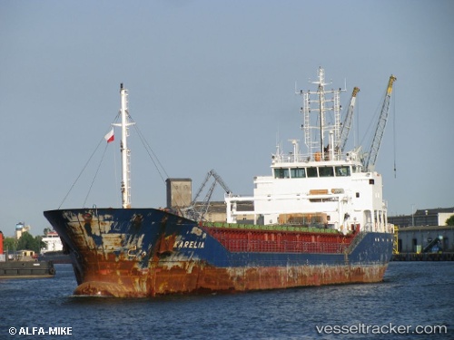
Vessel profile: MEMNUNE K is a General Cargo Ship with dimensions 90m x 14m.
This page combines live AIS, route history, probable destination signals, nearby traffic, and port activity for practical vessel monitoring.
The current position of vessel MEMNUNE K is 39.07961 lat / 26.85509 lng. Updated: 2026-05-22 01:11:14 UTCNearest reference points:
- Near Aliaga
- Near Nemrut Bay
- Near NEMRUT
Currently sailing under the flag of Barbados ![]()
MEMNUNE K built in 2010 year
Deadweight:
4487 tDetails:
Live Vessel MEMNUNE K Analytics (details, animations, etc.)
Recent AIS points (UTC):
2026-05-21 19:35:14 UTC · 39.07963, 26.85612 · SOG 0.2 kn · COG 187°2026-05-21 22:17:14 UTC · 39.07950, 26.85523 · SOG 0 kn · COG 132°
2026-05-21 22:56:13 UTC · 39.07953, 26.85531 · SOG 0 kn · COG 136°
2026-05-22 01:11:14 UTC · 39.07961, 26.85509 · SOG 0 kn · COG 139°