 Goliath
Current Status
Where is the vessel?
Goliath is currently in 21 nm NE of Burnie Harbor, based on AIS data received about 14h ago.
Latest AIS update:
Current position: 40.73820° S, 146.12170° E (21 nm NE of Burnie Harbor)
Average speed (last 7 days): Loading…
Average speed (last 30 days): Loading…
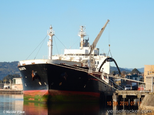
Vessel profile: Goliath is a Cement Carrier with dimensions 142m x 22m.
This page combines live AIS, route history, probable destination signals, nearby traffic, and port activity for practical vessel monitoring.
The current position of vessel Goliath is -40.73820 lat / 146.12170 lng. Updated: 2026-05-22 22:02:41 UTCNearest reference points:
- Near Beaconsfield
- Near LINDISFARNE
- Near Hobart
Currently sailing under the flag of Australia ![]()
Goliath built in 1993 year
Deadweight:
15539 tDetails:
Live Vessel Goliath Analytics (details, animations, etc.)
Recent AIS points (UTC):
2026-05-22 18:23:42 UTC · -40.08639, 145.68130 · SOG 12.3 kn · COG 151°2026-05-22 19:11:45 UTC · -40.23285, 145.77841 · SOG 12.2 kn · COG 151°
2026-05-22 19:26:48 UTC · -40.27840, 145.80815 · SOG 12.2 kn · COG 151°
2026-05-22 22:02:41 UTC · -40.73820, 146.12170 · SOG 11.6 kn · COG 151°