Verizon
Current StatusWhere is the vessel?
Verizon is currently in 71 nm E of Kaliorang, based on AIS data received about 18h ago.
Latest AIS update:
Current position: 0.85989° N, 119.05695° E (71 nm E of Kaliorang)
Average speed (last 7 days): Loading…
Average speed (last 30 days): Loading…
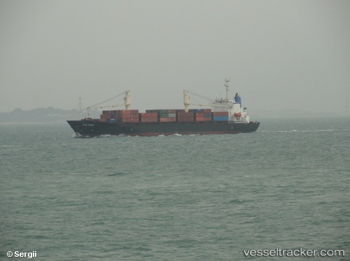
Vessel profile: Verizon is a Container Ship with dimensions 25m x 146m.
This page combines live AIS, route history, probable destination signals, nearby traffic, and port activity for practical vessel monitoring.
The current position of vessel Verizon is 0.85989 lat / 119.05695 lng. Updated: 2026-05-19 02:47:03 UTCNearest reference points:
- 69 nm E of Kaliorang
- 29 nm W of Labuanbajo
- 39 nm W of Labuanbajo
Details:
Live Vessel Verizon Analytics (details, animations, etc.)
Recent AIS points (UTC):
2026-05-19 02:47:03 UTC · 0.85989, 119.05695 · SOG 13.3 kn · COG -1°2026-05-19 02:47:03 UTC · 0.85989, 119.05695 · SOG 13.3 kn · COG -1°
2026-05-19 02:47:03 UTC · 0.85989, 119.05695 · SOG 13.3 kn · COG -1°
2026-05-19 02:47:03 UTC · 0.85989, 119.05695 · SOG 13.3 kn · COG -1°