 W KAMPALA
Current Status
Where is the vessel?
W KAMPALA is currently in 28 nm NW of Bnei Darom, based on AIS data received about 15h ago.
Latest AIS update:
Current position: 32.17167° N, 31.33500° E (28 nm NW of Bnei Darom)
Average speed (last 7 days): Loading…
Average speed (last 30 days): Loading…
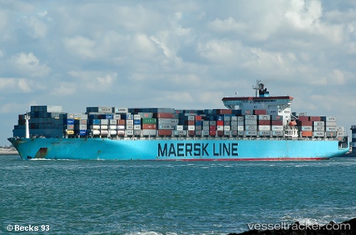
Vessel profile: W KAMPALA is a Container Ship with dimensions 300m x 43m.
This page combines live AIS, route history, probable destination signals, nearby traffic, and port activity for practical vessel monitoring.
The current position of vessel W KAMPALA is 32.17167 lat / 31.33500 lng. Updated: 2026-05-21 01:46:18 UTCNearest reference points:
- Near Damietta
- 21 nm N of Port Said
- 15 nm N of Port Said
Currently sailing under the flag of Marshall Islands ![]()
W KAMPALA built in 2001 year
Deadweight:
93552 tDetails:
Live Vessel W KAMPALA Analytics (details, animations, etc.)
Recent AIS points (UTC):
2026-05-20 22:07:19 UTC · 32.52333, 29.94167 · SOG 20 kn · COG -1°2026-05-21 00:16:16 UTC · 32.33667, 30.79833 · SOG 21 kn · COG -1°
2026-05-21 00:28:19 UTC · 32.31500, 30.87833 · SOG 21 kn · COG -1°
2026-05-21 01:46:18 UTC · 32.17167, 31.33500 · SOG 19 kn · COG -1°