 CLIPPER TYNE
Current Status
Where is the vessel?
CLIPPER TYNE is currently in 164 nm NE of Colomadu, based on AIS data received about 15h ago.
Latest AIS update:
Current position: 9.91833° N, 112.08833° E (164 nm NE of Colomadu)
Average speed (last 7 days): Loading…
Average speed (last 30 days): Loading…
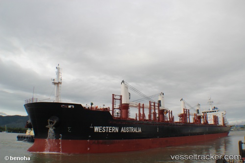
Vessel profile: CLIPPER TYNE is a Bulk Carrier with dimensions 27m x 175m.
This page combines live AIS, route history, probable destination signals, nearby traffic, and port activity for practical vessel monitoring.
The current position of vessel CLIPPER TYNE is 9.91833 lat / 112.08833 lng. Updated: 2026-05-23 05:40:12 UTCNearest reference points:
- 156 nm SE of Phan Rang-Tháp Chàm
- 142 nm N of Pulau Lang Lang
- 141 nm N of Pulau Lang Lang
Currently sailing under the flag of Marshall Islands ![]()
CLIPPER TYNE built in 2012 year
Deadweight:
31905 tDetails:
Live Vessel CLIPPER TYNE Analytics (details, animations, etc.)
Recent AIS points (UTC):
2026-05-23 01:22:14 UTC · 10.52833, 112.40333 · SOG 9 kn · COG -1°2026-05-23 01:22:14 UTC · 10.52833, 112.40333 · SOG 9 kn · COG -1°
2026-05-23 04:37:09 UTC · 10.07333, 112.16333 · SOG 10 kn · COG -1°
2026-05-23 05:40:12 UTC · 9.91833, 112.08833 · SOG 9 kn · COG -1°