 AMIF
AMIF
Current Status
Where is the vessel?
AMIF is currently in 10 nm SE of Ablogamé, based on AIS data received about 14h ago.
Latest AIS update:
Current position: 6.01503° N, 1.37805° E (10 nm SE of Ablogamé)
Average speed (last 7 days): Loading…
Average speed (last 30 days): Loading…
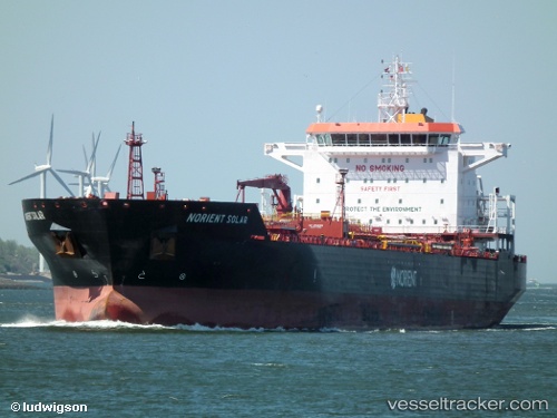
Vessel profile: AMIF is a Chemical/Oil Products Tanker with dimensions 180m x 180m.
This page combines live AIS, route history, probable destination signals, nearby traffic, and port activity for practical vessel monitoring.
The current position of vessel AMIF is 6.01503 lat / 1.37805 lng. Updated: 2026-05-22 19:59:54 UTCNearest reference points:
- Near Ablogamé
- Near Cotonou
- Near Kirikiri
Currently sailing under the flag of Liberia ![]()
AMIF built in 2008 year
Deadweight:
40429 tDetails:
Live Vessel AMIF Analytics (details, animations, etc.)
Recent AIS points (UTC):
2026-05-22 16:13:54 UTC · 6.14070, 1.28930 · SOG 0.1 kn · COG -1°2026-05-22 17:19:34 UTC · 6.14068, 1.28929 · SOG 0 kn · COG -1°
2026-05-22 19:23:54 UTC · 6.09230, 1.32670 · SOG 8.2 kn · COG 156°
2026-05-22 19:59:54 UTC · 6.01503, 1.37805 · SOG 10.5 kn · COG 149°