 Imi
Imi
Current Status
Where is the vessel?
Imi is currently in Near Iskenderun, based on AIS data received about 15h ago.
Latest AIS update:
Current position: 36.60578° N, 36.14780° E (Near Iskenderun)
Average speed (last 7 days): Loading…
Average speed (last 30 days): Loading…
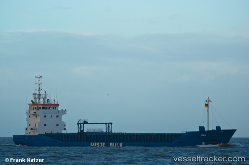
Vessel profile: Imi is a Multi Purpose Carrier with dimensions 90m x 13m.
This page combines live AIS, route history, probable destination signals, nearby traffic, and port activity for practical vessel monitoring.
The current position of vessel Imi is 36.60578 lat / 36.14780 lng. Updated: 2026-05-19 14:24:05 UTCNearest reference points:
- Near Iskenderun
- Near DORTYOL
- 13 nm W of Iskenderun
Currently sailing under the flag of Bahamas ![]()
Imi built in 1993 year
Deadweight:
4293 tDetails:
Live Vessel Imi Analytics (details, animations, etc.)
Recent AIS points (UTC):
2026-05-19 10:06:02 UTC · 36.60632, 36.14731 · SOG 0 kn · COG 224°2026-05-19 11:57:03 UTC · 36.60612, 36.14755 · SOG 0.2 kn · COG 234°
2026-05-19 13:21:04 UTC · 36.60594, 36.14767 · SOG 0 kn · COG 266°
2026-05-19 14:24:05 UTC · 36.60578, 36.14780 · SOG 0.2 kn · COG 287°